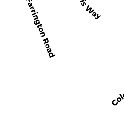
8 FARRINGTON ROAD ED
DENNIS, MA02641
Owner Information
CRONIN MICHAEL ET ALI
C/O ANNE CRONIN 52 RIDGEWOOD CROSSING
HINGHAM, MA 02043


Property Details
8 FARRINGTON ROAD ED is classified as a Residential Open Land.
8 FARRINGTON ROAD ED is valued at $28,800. The land is valued at $28,800 and the structures are valued at $0.
8 FARRINGTON ROAD ED was last sold on Monday, December 10, 2012 for $0.
Assessment data from fiscal year 2022.
Flood Data
This property is partially within the VE Zone (coastal flooding with wave action). Approximately 0.29 acres (3.62%) of the property is within this zone.
The base flood elevation for this flood zone is 15 feet.
This information is sourced from the FEMA National Flood Hazard Layer. See our full disclamer.
Broadband Internet Providers
| Provider | Type | Bandwidth (mbps) | |
|---|---|---|---|
| HughesNet | Satellite | 25 | 3 |
| Viasat Inc | Satellite | 35 | 3 |
| Verizon New England Inc. | DSL | 5 | 0 |
| GCI Communication Corp. | Satellite | 0 | 0 |
| T-Mobile | Fixed Wireless | 25 | 3 |
| Comcast | Cable | 1000 | 35 |
| VSAT Systems, LLC. | Satellite | 2 | 1 |
Broadband service provider data from December 2020.
Adjacent Properties
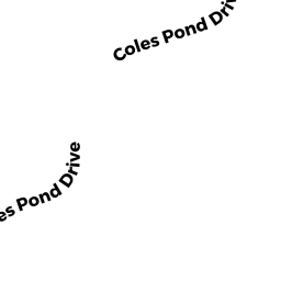
- 52 COLES POND ROAD ED
Single Family Residential owned by COLES POND ROAD LLC - 45 COLES POND ROAD ED
Undevelopable Residential Land owned by FARRELL CHRISTOPHER J - 44 COLES POND ROAD ED
Undevelopable Residential Land owned by SEARS THOMAS R ET ALI - 0 OFF SEA STREET ED
Undevelopable Residential Land owned by NEU RICHARD W ET UX - 53 FARRINGTON ROAD ED
Single Family Residential owned by CRONIN MICHAEL J TRUSTEE - 37 FARRINGTON ROAD ED
Single Family Residential owned by MANEY CONSTANCE - 47 FARRINGTON ROAD ED
Single Family Residential owned by WINNEG ROBERT TRUSTEE - 37 POLARIS WAY ED
Developable Residential Land owned by SEARS THOMAS R ET ALI - 55 POLARIS WAY ED
Single Family Residential owned by NORTH STAR PARTNERS LTD - 20 FARRINGTON ROAD ED
Single Family Residential owned by SPROFERA SALVATORE W TRUSTEE - 38 FARRINGTON ROAD ED
Single Family Residential owned by CRONIN MARY FRANCES TRUSTEE - 23 FARRINGTON ROAD ED
Single Family Residential owned by DANN EDWARD E TRUSTEE - 29 FARRINGTON ROAD ED
Single Family Residential owned by ALBRECHT MARK - 7 CAPTAIN SEARS ROAD ED
Single Family Residential owned by CRONIN JOHN W TRUSTEE - 0 CAPTAIN HARRIS CIRCLE ED
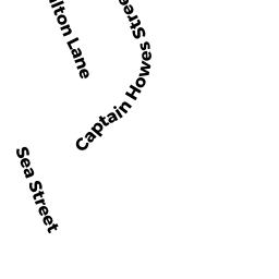
Undevelopable Residential Land owned by SEARS THOMAS R - 37 CAPTAIN HOWES STREET ED
Undevelopable Residential Land owned by POPEO PAUL D TRUSTEE - 150 SEA STREET ED
Single Family Residential owned by NEU RICHARD W ET UX